Outer Banks NC
New interactive map shows Hatteras Island erosion over time
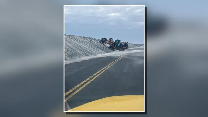
The newly released Hatteras Island Erosion Drone Imagery map is an active and ongoing Dare County GIS project. Image: Dare County Because of recent erosion concerns, Dare County GI…